Explore the drop menu for the latest long-range climate imagery from the C3S, ECMWF, UKMET, and NMME. There's also imagery that monitors climate extremes, season-to-date snowfall, global atmospheric dust, and ocean heat content.
Select an image category:
Global Heights 2
Global Heights 3
Global Heights 4
Global Heights 5
Global Heights 6
USA Heights 2
USA Heights 3
USA Heights 4
USA Heights 5
USA Heights 6
MME Height Season 1
MME Height Season 2
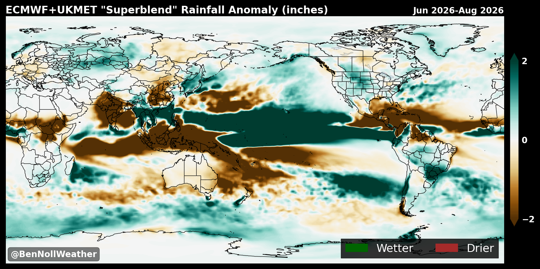
Superblend Precip Globe Season 1
Superblend Precip Globe Season 2
Superblend Precip Atlantic Season 1
Superblend Precip Atlantic Season 2
Superblend Precip USA Season 1
Superblend Precip USA Season 2
Superblend Temperature Globe Season 1
Superblend Temperature Globe Season 2
Superblend Temperature USA Season 1
Superblend Temperature USA Season 2
Superblend Dew Point Globe Season 1
Superblend Dew Point Globe Season 2
Superblend Dew Point USA Season 1
Superblend Dew Point USA Season 2
Superblend Cloud Globe Season 1
Superblend Cloud Globe Season 2
Superblend Cloud USA Season 1
Superblend Cloud USA Season 2
Superblend Wind Globe Season 1
Superblend Wind Globe Season 2
Superblend Wind USA Season 1
Superblend Wind USA Season 2
Superblend OLR Globe Season 1
Superblend OLR Globe Season 2
Superblend OLR USA Season 1
Superblend OLR USA Season 2
SST 2
SST 3
SST 4
SST 5
SST 6
VP 2
VP 3
VP 4
VP 5
VP 6
Jet 2
Jet 3
Jet 4
Jet 5
Jet 6
Zonal 2
Zonal 3
Zonal 4
Zonal 5
Zonal 6
Strat 2
Strat 3
Strat 4
Strat 5
Strat 6
Snow USA 2
Snow USA 3
Snow USA 4
Snow USA 5
Snow USA 6
Snow Globe 2
Snow Globe 3
Snow Globe 4
Snow Globe 5
Snow Globe 6
Niño Heatmap
Niño Strong Heatmap
Niño Very Strong Heatmap
Zonal Heatmap
Niña Heatmap
IOD Positive Heatmap
IOD Negative Heatmap
Gulf Heatmap
Niño 3.4 Chart
Niño 3.4 Table
Relative Niño 3.4 Index
NMME Precip Globe Season 1
NMME Precip Globe Season 2
NMME Precip Globe Season 3
NMME Precip USA Season 1
NMME Precip USA Season 2
NMME Precip USA Season 3
NMME Precip Atlantic Season 1
NMME Precip Atlantic Season 2
NMME Precip Atlantic Season 3
NMME Temps USA Season 1
NMME Temps USA Season 2
NMME Temps USA Season 3
SST 1
SST 2
SST 3
SST 4
SST 5
SST 6
SST 7
SST 8
SST 9
Precipitable Water Anomaly
Precipitable Water Anomaly Ranking
Moistening Stripes
Precipitable Water Comparison
Temperature Extremes
Precipitation Extremes
Wind Extremes
Humidity Extremes
Cloud Cover Extremes
Snowfall Extremes
Sea Surface Temperature Extremes
Heat Stress
Upper Decile Rainfall
Global Wildfire Smoke
USA Wildfire Smoke
Ocean Heat Content Percentile
Ocean Heat Content Amount
Rapid Intensification Potential
USA Snowfall Percentage of Normal
Tomorrow's Weather Map
These graphics are generated by Ben Noll using data from the Copernicus Climate Change Service (C3S). The C3S (ECMWF) imagery updates once a month around the 10th (6th) and provides insights on general climatic patterns for the next six months. Unless otherwise stated, anomalies are computed with respect to the 1993-2016 long-term mean. You are welcome to use the imagery with proper credit.
ERA5 climatic extremes imagery updates once a month around the 6th.
North American Multi-Model Ensemble (NMME) imagery updates once a month around the 7th.